

 37
buildings
37
buildings
King West Village
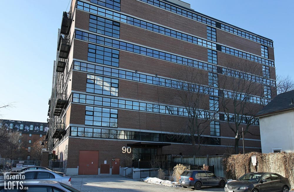
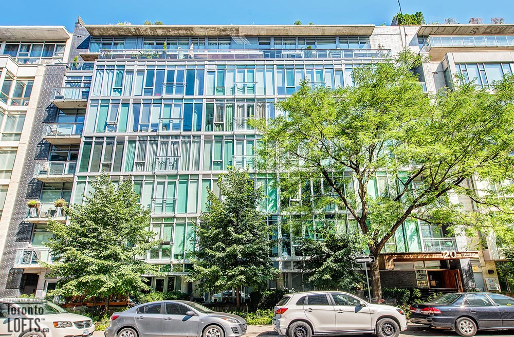
King West Village was originally part of the Military Reserves of the Town of York – the forerunner to the City of Toronto. In the 1830s the military reserves were auctioned off and a “New Town” development was created for this area. King West evolved as a busy industrial and manufacturing centre. Many of the old industrial buildings from the 1800s and early 1900s have recently been converted to residential and commercial uses.
 22
buildings
22
buildings
The Beach
 20
buildings
20
buildings
Leslieville
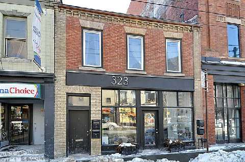
Leslieville began as a small village back in the 1850s named after George Leslie, the owner of Toronto Nurseries (a lucrative business that occupied over 150 acres). Leslieville’s older houses were built in the late 1800s. They include Ontario cottages, Second Empire row houses and Victorian houses. Second generation houses were built in the early 1900s and comprised of detached and semi-detached houses as the tiniest bungalows in Toronto.
 17
buildings
17
buildings
Old Town
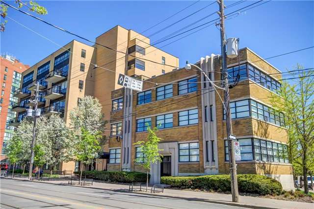
Old Town is the original town-site of York, as laid out in 1793. While no buildings in the area date from that time period, there are numerous heritage buildings such as Toronto's first post office on Adelaide within the area. Old Town Toronto is filled with buildings predominantly two or three storeys tall. The area also has numerous older warehouses that have been converted to lofts or offices.
 16
buildings
16
buildings
Niagara
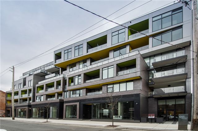
Niagara is a neighbourhood with a rich history dating back to 1793 when Niagara was part of a military garrison for the Town of York. In the 1850s, Niagara became a prominent industrial centre which ultimately led to the development of the Niagara neighbourhood in the mid to late 1800s. Niagara’s Second Empire row houses and one storey “Ontario Cottages” were built in the 1870s and 1880s. More recent development in this area includes many town home and loft developments.
 15
buildings
15
buildings
Trinity Bellwoods
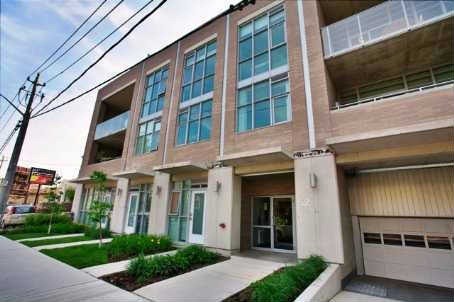
Trinity Bellwoods, a 100 acre parcel of land, was once owned by Captain Samuel Smith in the early 1800s. Smith named this park “Gore Vale” in honour of Lieutenant-Governor Frank Gore. In 1852, the lower half of Gore Vale became the grounds of Trinity College, after which this neighbourhood is named. The present neighbourhood began to take shape in the 1880s and was fully developed by the early 1900s.
 13
buildings
13
buildings
Corktown
 11
buildings
11
buildings
Roncesvalles
Roncesvalles was originally settled by Colonel Walter O’Hara in 1850. O’Hara was wounded and captured by the French in the Roncesvalles Gorge in northern Spain; hence the name Roncesvalles. The development of the present-day neighbourhood was spurred on by the street-car, which came to this area in the early 1900s. Roncesvalles was a family-oriented neighbourhood right from the start.
 10
buildings
10
buildings
Annex
 10
buildings
10
buildings
Beaconsfield
Beaconsfield Village history begins with the Denison family who were the major landholders in this district dating back to the early 1800's. Captain John Denison was the owner of "Brookfield", built around 1815, at the north-west corner of Queen and Ossington. Beaconsfield Ave., the signature street in the neighbourhood, is named after former British Prime Minister Benjamin Disraeli, “Lord Beaconsfield”.
 9
buildings
9
buildings
Downtown East
The Downtown was originally settled by some of early Toronto's most prominent families. The street names in this neighbourhood are clues to its rich history. Downtown's Victorian houses were built in the mid to late 1800's. Most of these houses have been converted to commercial uses or into multi-family homes. This neighbourhood also contains a large number of fashionable townhouses built in the 1970's and 1980's.
 8
buildings
8
buildings
Cabbagetown
Cabbagetown is a neighbourhood that began in the 1840s when thousands of Irish Immigrants settled there after fleeing the potato famine in Ireland. Residents were extremely poor. During the Depression of the 1930s, Cabbagetown was known as the worst Anglo Saxon slum in North America. Houses were built between 1860 and 1895. They have been restored under the watchful eye of the Cabbagetown Preservation Association.
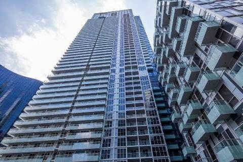 7
buildings
7
buildings
Downtown West
 7
buildings
7
buildings
Grange Park
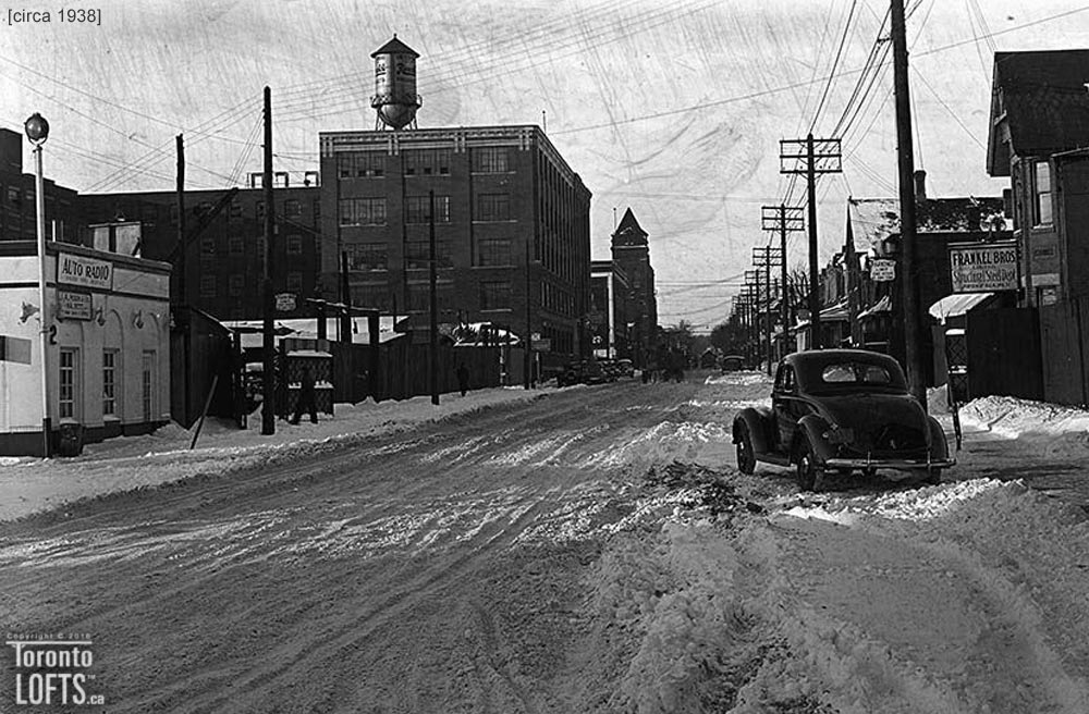 7
buildings
7
buildings
Riverside
Riverside, formerly known as the Queen Broadview Village, is just South of Riverdale. Riverside is a small neighbourhood but a home to several places of note such as the New Broadview House Hotel, a romanesque hotel constructed in 1893 that was the tallest structure in South Riverdale for several decades, the Ralph Thornton Community Centre, Broadview Lofts, and The Opera House.
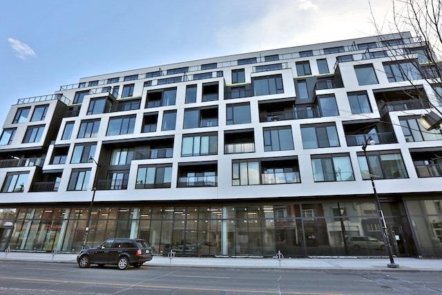 7
buildings
7
buildings
The Junction
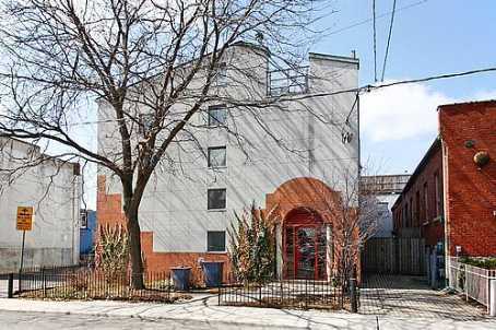 6
buildings
6
buildings
Dovercourt Park
 6
buildings
6
buildings
Liberty Village
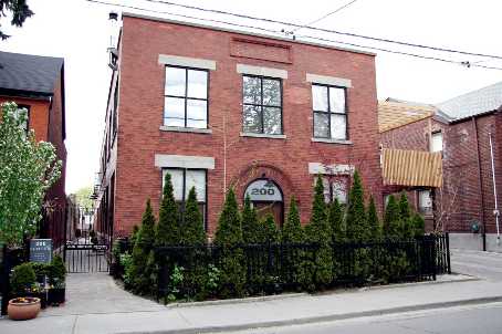
In the late 1700s and early 1800s the area now known as Liberty Village was part of the Garrison Common —a military fortification for the Town of York (which would later become Toronto). The arrival of the railway to this area in the 1850s attracted industry, which in turn led to the building of warehouses and factories.
 6
buildings
6
buildings
Little Italy
 6
buildings
6
buildings
Parkdale
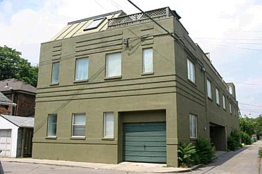
Parkdale began as an elite residential suburb in the 1800s. In 1879, it was incorporated into a village, and by 1889, Parkdale was amalgamated with the City of Toronto. When the Sunnyside Amusement Park and Bathing Pavilion opened in 1922, Parkdale’s popularity increased more dramatically. However, when the city shut down Sunnyside in 1956 to make room for the Gardiner Expressway, the neighbourhood suffered an economic downturn.
 6
buildings
6
buildings
Riverdale
 6
buildings
6
buildings
St. Lawrence
 6
buildings
6
buildings
Trefann Court
Trefann Court began as a working class neighbourhood in the mid 1800's. In 1966 Toronto city planners recommended that Trefann Court's deteriorated housing be demolished and the entire neighbourhood be rebuilt from scratch. The city's plans were vigorously opposed by Trefann Court residents, who crafted a plan that advocated restoring the existing housing stock wherever possible, and replacing dilapidated houses with new houses. This plan was adopted by city council in 1972.
 5
buildings
5
buildings
Brockton
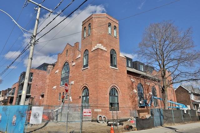
The Village of Brockton was likely named after Captain James Brock, who held a large parcel of land in this area in the early 1800's. Irish immigrants were the first settlers of Brockton in the 1840s. They found employment at two nearby rope making factories. The majority of the houses were built between 1880 and 1920. Brockton was incorporated as a village in 1881 but was amalgamated with the City of Toronto three years later.
 5
buildings
5
buildings
Junction Triangle
The Junction Triangle was formed in the 1880s after the Grand Trunk, Toronto Grey and Bruce and Northern railway lines began service to this area. The railways attracted industry to the area and laborers were the first residents of this neighbourhood. The Junction Triangle neighbourhood name was coined in the 1970s in reference to this railroad junction.
 5
buildings
5
buildings
Upper Jarvis
 4
buildings
4
buildings
Davisville Village
 4
buildings
4
buildings
Dufferin Grove
 4
buildings
4
buildings
High Park
High Park was formerly part of the Town of West Toronto Junction which was annexed by the City of Toronto in 1909. The High Park property south of Bloor Street was purchased in 1836 by John Howard, Toronto’s first surveyor. He named his estate High Park because of its beautiful view of Lake Ontario. In 1873, Howard deeded his estate to the City of Toronto.
 4
buildings
4
buildings
Wallace Emerson
The Wallace Emerson neighbourhood which owes its development to the Canadian Pacific and Canadian National railway lines that began freight services to this area in the late 1800s. The railways attracted industries to the Wallace Emerson area which in turn led to the residential development of what historically has been a working class neighbourhood. The modest size brick houses in this neighbourhood were built in the late 1800s and early 1900s. They include a mix of detached and semi-detached houses.
 3
buildings
3
buildings
North Toronto
 3
buildings
3
buildings
Yorkville
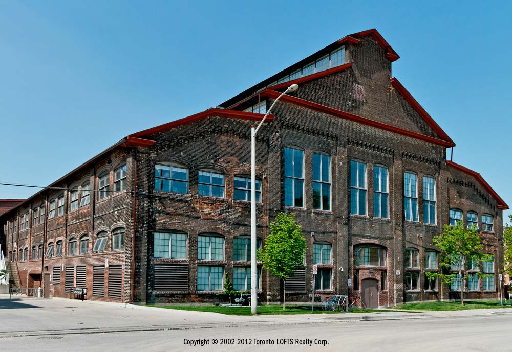 2
buildings
2
buildings
Davenport
Davenport Road follows a centuries old carrying trail used by the First Nations peoples to travel the route south of the ridge. One of the first settlers was Ensign John McGill, who built a home he named Davenport in 1797. In the early twentieth century, the presence of the Northern Railway lead to the industrialization of the area and many small plants and factories were set up along the tracks. Over the years new townhouse developments have been built in the area replacing former factories and warehouses.
 2
buildings
2
buildings
Distillery District
 2
buildings
2
buildings
Fairbank
Fairbank is named after the former "Fairbank" farm, which had been owned by a pioneer settler named Matthew Parsons. This neighbourhood began with a one room school house which was built in the 1860's and followed by a hotel, a post office, a church and a handful of stores. Fairbank contains an interesting mix of early 1900's working class houses, postwar brick and stucco bungalows, and new home developments.
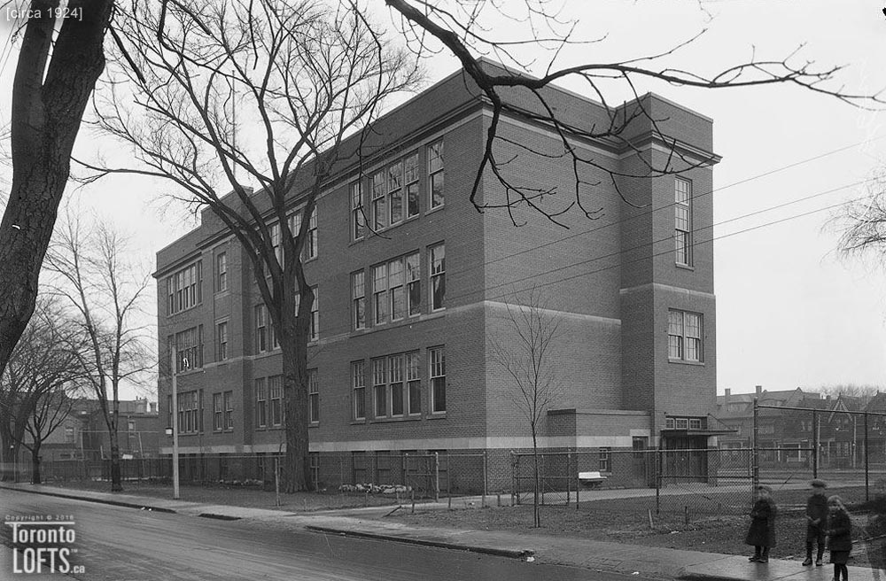 2
buildings
2
buildings
Kensington
Kensington Market was originally part of a 100 acre park that was granted to Captain John Denison in 1815. By the 1870’s, this district had developed into a middle class, Anglo-Saxon neighbourhood. During the early 1900’s, however, Jewish immigrants started to settle here, and by the 1940’s Kensington had attracted immigrants from all over the world making the Kensington Market the unique multicultural shopping area it is today.
 2
buildings
2
buildings
Mimico
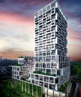 2
buildings
2
buildings
Mount Pleasant West
Mount Pleasant West is a residential neighbourhood bordered by busy commercial strips lined with artisanal bakeries, gastropubs, and trendy Asian restaurants. Independent shops sell gifts and secondhand clothing, while the Yonge Eglinton Centre mall houses fashion chains. For green spaces, June Rowlands Park has a playground and splash pad, and large Mount Pleasant Cemetery lies just south of the area.
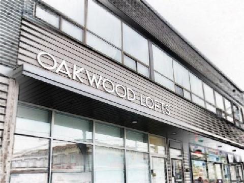 2
buildings
2
buildings
Oakwood Village
 2
buildings
2
buildings
Rathnelly
 2
buildings
2
buildings
South Annex
 1
building
1
building
Bathurst Quay
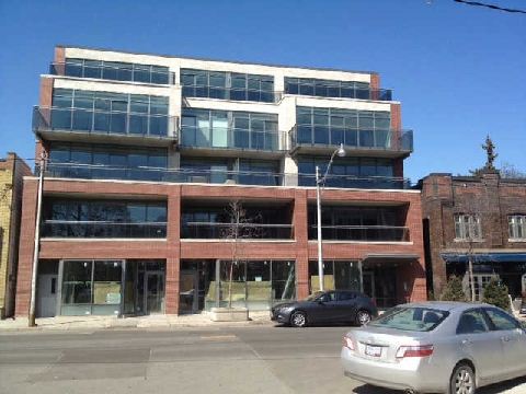
Bathurst Quay is a relatively new neighbourhood that started to develop in the 1970s. Queen’s Quay was originally commercial in nature due to the many working piers along the waterfront; it has been extensively rebuilt in since the 1970s with parks, condominiums, retail, and institutional and cultural development.
 1
building
1
building
Bloor West Village
 1
building
1
building
Church-Wellesley Village
 1
building
1
building
Danforth Village
The land north of the Danforth was once owned by the Church of England. The land south of the Danforth was originally owned by families engaged in either farming or the brick making business. Danforth Avenue, the neighbourhood’s main thoroughfare, is named after Asa Danforth, an American contractor who built Kingston Road in 1799. Soon after being annexed to the City of Toronto in 1908, Danforth Village started to subdivide into smaller plots.
 1
building
1
building
Deer Park
 1
building
1
building
Don Mills
 1
building
1
building
Earlscourt
The Earlscourt neighbourhood was settled in 1906 by labourers from the British Isles. In addition to their work at the local factories, Earlscourt families would toil day and night building meagre tar and paper shacks, as temporary homes until enough money was saved to build a proper brick house. Earlscourt's solid brick homes were built mostly between 1910 and 1950. There is a good mix of detached and semi-detached houses, as well as bungalows.
 1
building
1
building
Flemingdon Park
Little Portugal
1 building
 1
building
1
building
Long Branch
 1
building
1
building
Playter Estates
 1
building
1
building
Regent Park
Regent Park is a neighbourhood that rose from the rubble of what was once the south part of the Cabbagetown. During the 1930’s, South Cabbagetown was targeted by Toronto city planners for a grand urban renewal scheme called Regent Park. Today Regent Park is making another major transformation called the Regent Park Revitalization. Regent Park consists of low-rise and high-rise apartments, townhouses and row-houses.
 1
building
1
building
Rosedale
 1
building
1
building
Seaton Village
 1
building
1
building
Summerhill
 1
building
1
building
Sunnylea
Sunnylea’s history revolves around Alexander Thompson, who purchased 200 acres of land in this area in 1803. In the latter part of the 1800s, the Thompson’s were joined in Sunnylea by families who cultivated thriving market gardens filled with fruits and vegetables. In 1907, the first Sunnylea School was built. A pupil at the school won a contest in coming up with the Sunnylea name which also became the name of this community.
 1
building
1
building
The Queensway
 1
building
1
building